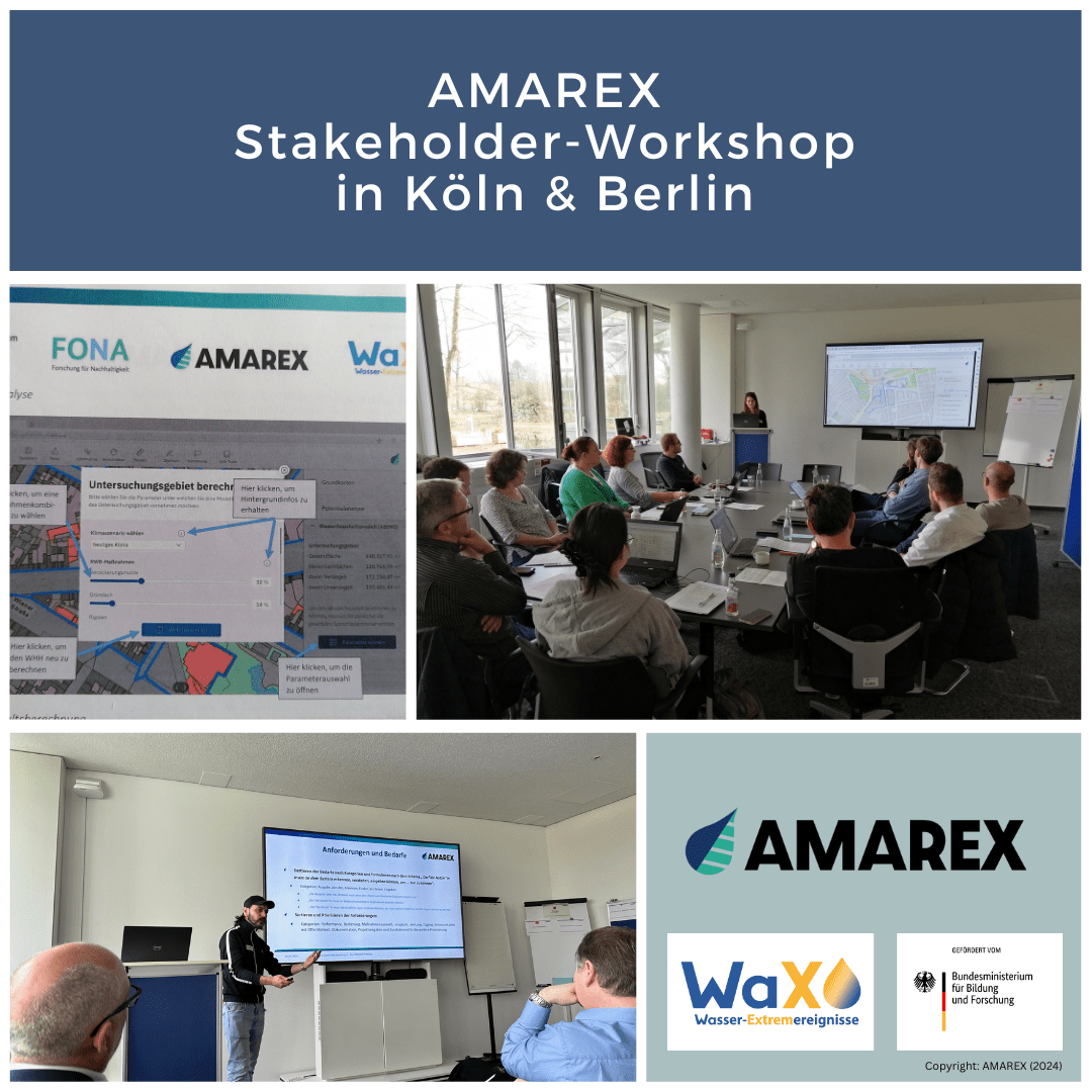
The 2nd AMAREX Stakeholder Workshop took place on March 14, 2024, coordinated by the Berlin Water Services at the Infralab Berlin. Following that, the workshop was successfully replicated in the partner city of Cologne, upon invitation from the Cologne City Drainage Services. The primary focus of the AMAREX project is to research and expand urban concepts related to rainwater management (RWB). These concepts include features like green roofs, infiltration basins, and rain gardens, all within the context of the increasing challenges posed by extreme water events such as heavy rainfall and drought.
To enhance local water management and mitigate the adverse effects of extreme weather, AMAREX aims to promote decentralized rainwater infiltration, potential storage, and irrigation. To assist municipal stakeholders in the preparatory planning of RWB measures, AMAREX is developing a web-based, user-friendly online tool. This tool will calculate and compare the impact of various RWB measures on the water balance. By quickly identifying suitable areas and corresponding actions, RWB strategies can be integrated into urban planning processes at an early stage.
During the initial Stakeholder Workshop in 2022, diverse requirements from participating stakeholders were collected, categorized, and prioritized for an online tool. Based on these identified needs, a prototype for the online tool was developed and presented during the 2nd Stakeholder Workshop. Participants had the opportunity to test the prototype and provide specific feedback, which will inform the final tool’s development.
After a brief introduction and project summary, the online tool was presented in detail. Subsequently, all participants had the opportunity to test the prototype on their own laptops and discuss it in small groups. The conclusion of the workshop involved simulating a scenario for planning measures, using the example of Lausitzer Platz in Berlin and Karl-Berbuer Platz in Cologne.
In the AMAREX Web-Tool, the long-term deviation of the urban water balance from its natural state serves as an indicator. The process begins by selecting the relevant area on a map. Various thematic maps can then be loaded, such as flood hazard maps or a “blue potential map” for estimating water runoff from roof surfaces for potential use. The so-called action potential maps indicate, after technical analysis (e.g., compliance with groundwater distance, tree spacing, etc.), the possible locations for selected RWB measures. For impact analysis, specific combinations of measures can be chosen, with separate area proportions defined (e.g., 30% green roofs + 15% rain gardens). The results calculate the effects of each measure combination on the water balance, comparing it to the status quo and the natural water balance.
The pilot application was highly successful due to lively discussions among participants and practical use cases. Feedback on the tool was overwhelmingly positive: two-thirds of participants can envision integrating it into their daily work, which is a significant achievement!
The web tool’s release is targeted for early 2025.
